
Alberta, British Columbia, Manitoba, Saskatchewan, Yukon Territory.
The west coast mountains, incorporating British Columbia and the Yukon Territory, descend into the vast, flat prairies of Alberta, Saskatchewan, and Manitoba. The empty lands and fertile soils of the prairie provinces attracted migrants, and the descendants of early European immigrants still make up a large proportion of the population. The mechanization of agriculture has reduced the need for labor, and rural population densities remain low.
Most people live within 100 miles (160 km) of the southern Canada – United States border and in British Columbia, one of the leading Canadian provinces in terms of economic wealth.
The Yukon Territory, in the far north, remains a relatively unspoiled wilderness containing large, untapped mineral reserves. This province has a significant population of Native American people, many of whom maintain a traditional lifestyle.
The landscape of the western Canadian provinces
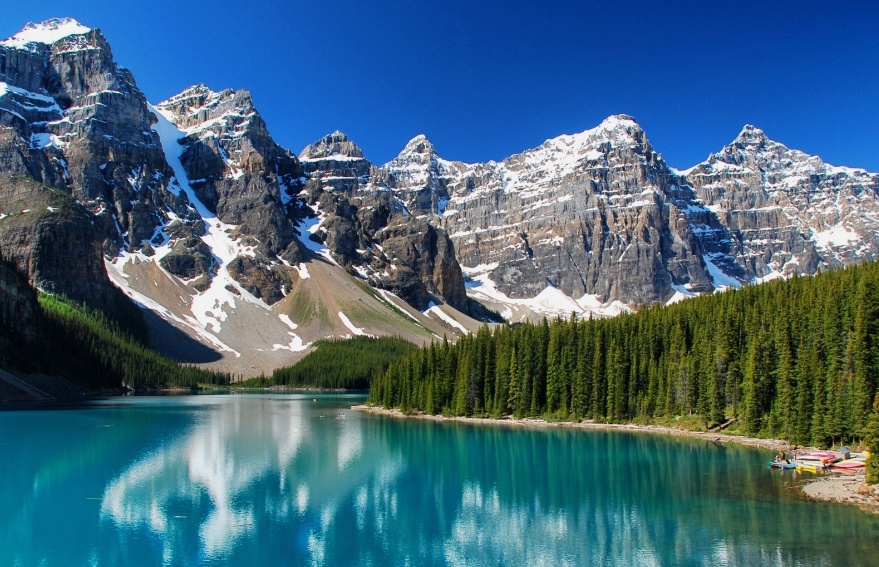
The massive Rocky Mountains form a continental divide between eastward and westward rivers. The interior plains lie east of the mountains, stretching from the Arctic Circle south into the US. Covered with glacial deposits from the last Ice Age, these interspersed with hilly regions and long, steep escarpments.
Interesting facts about the western Canadian provinces
- Mount Logan rises 19,551 ft (5959 m). It is the highest peak in Canada.
- The Columbia Icefield in the Rocky Mountains is the source of two major rivers, the Athabasca and the North Saskatchewan.
- The badlands of Alberta were created when east-flowing rivers, swollen by meltwater at the end of the last Ice Age, cut deep, vast canyons producing eroded, barren landscapes.
- Braided rivers are shallow and fast-flowing. The interlaced branches formed when excess sediments, which can no longer be transported, are deposited. The sediments collect in the river channel forming bars and sand flats. Islands form when the bars are colonized by vegetation.
- The Rocky Mountain Trench is the longest linear fault in the world. It has formed a straight, flat-bottomed valley between 2–9 miles (4–15 km) wide and up to 3280 ft (1000 m) deep.
- Hundreds of islands dot the fjord-indented coast of British Columbia; the largest is Vancouver Island.
- Three significant passes cut through the Rocky Mountains: Yellowhead, Kicking Horse, and Crowsnest. They are all used as transportation routes through the mountains.
- The Cypress Hills rise to 4806 ft (1465 m) above the surrounding plain. Having escaped the last glaciation, they contain unique plant and animal life. The silvery lupine, bunchberry, and lodgepole pine all grow in the cool, moist climate of the hills.
- The Alberta and Saskatchewan plains bear strong testament to past glaciations. The Assiniboine, Saskatchewan, and Qu’Appelle rivers occupy flat-bottomed, steep-sided valleys eroded by glacial meltwater during the last Ice Age.
- The lowlands of Manitoba are a basin that once held the vast post-glacial Lake Agassiz, remnants of which include Lake Winnipeg, Lake Winnipegosis, and Lake Manitoba.
- The Nelson and Churchill rivers drain northward across the Canadian Shield to Hudson Bay. The shield covers three-fifths of Saskatchewan.
Transportation & industry in the western Canadian provinces
The western provinces contain a wealth of mineral resources. Alberta holds the bulk of Canada’s fossil fuels; the other provinces contain reserves of metallic ores, such as zinc, lead, and silver. Isolation from markets has slowed manufacturing development, restricting it to large cities like Vancouver, Winnipeg, and Calgary. Hydroelectric power is widely exploited, although there is increasing concern about potential ecological damage.
Using the land & sea in the western Canadian provinces
Wheat farming is the economic mainstay of Alberta, Manitoba, and Saskatchewan, which contain 82% of farmland in Canada. Cattle were also raised on the prairies. Forestry and fishing are the most prominent resource-based industries in British Columbia. Despite the mountainous terrain, fruit and specialized grains can grow in the Okanagan and Fraser valleys.
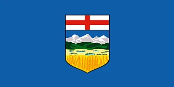
Alberta
Formation: 1905.
Alberta is the fourth-largest province in Canada. It shares a border with British Columbia and Saskatchewan in the east and the North American Great Plains to the south. Its western area has a hilly, rocky terrain that gives way to prairies, agriculture dominates, and few trees. It was initially inhabited by indigenous tribes who relied on hunting for their food supply. French explorers eventually explored the area before being colonized by France as part of New France. The territory became a province in 1905 after being joined by other British colonies.
Alberta, Canada, is a beautiful province with many tourist attractions. If you’re planning a vacation, you will want to include Alberta on your list of places to go. Calgary is the largest city in Alberta and has some of the most exciting and beautiful buildings, such as the impressive Museum of Fine Arts. If you enjoy skiing, you can visit Banff National Park, which spans 1,600 square kilometers (620 sq mi). It’s also home to three pretty stunning mountain ranges.
Read more and find maps here about Alberta.
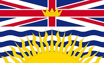
British Columbia
Formation: 1871.
British Columbia is located on the western coast of Canada. It’s bordered by the Pacific Ocean, Alberta, and the United States. The climate in British Columbia varies from dry and sunny with warm summers to wet and cloudy with cold winters. Despite its coastal location, many parts of British Columbia are covered in snow for much of the year.
British Columbia was established in 1871 and is one of the country’s oldest and most populous provinces. It has a diverse landscape ranging from mountainous areas to low, rolling hills to fertile valleys. The area’s mountains have many natural resources, including coal, gold, copper, and, most notably, lumber. The province also has many national parks that offer some of the most beautiful scenery in Canada.
The province has natural resources, like mineral deposits, forests, farmland, water, and fish stocks. These resources have made British Columbia an essential part of Canada’s economy.
Read more and find maps here about British Columbia.
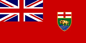
Manitoba
Formation: 1870.
Manitoba is the fourth-most populous province in Canada. It has been inhabited for thousands of years by different indigenous tribes. The first European settlement was in 1690, with the Hudson’s Bay Company setting up a fur-trading post that later became the city of Portage la Prairie. Manitoba is one of Canada’s most popular provinces, with abundant agriculture and outdoor activities.
Manitoba is also famous for its diverse landscape. There are many beautiful natural areas, such as Riding Mountain National Park, Spruce Woods Provincial Park, and Whiteshell Provincial Park. Visiting these parks can be a great way to get some exercise while enjoying nature at the same time. The capital of Manitoba is Winnipeg, and its largest city is Brandon. The most common languages in Manitoba are English, French, and Cree (a North American Indigenous language).
Read more and find maps here about Manitoba.
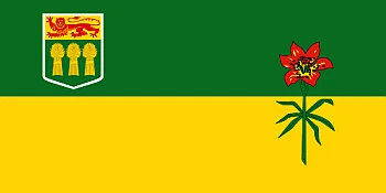
Saskatchewan
Formation: 1905.
Saskatchewan is a province in the east-central part of Canada. With about 1 million residents, it is one of the least densely populated provinces. The capital city of Saskatchewan, which is also its largest city, is Regina. Saskatoon, Moose Jaw, and Prince Albert are other vital cities in Saskatchewan.
Saskatchewan, the Canadian prairie province, is the country’s breadbasket. It has over 250,000 farms and is the world’s most important supplier of wheat, canola, and durum wheat. The province’s economy centers mainly on agriculture and energy production. Other industries include food processing as well as transportation and manufacturing.
The province has 27% of Canada’s lakes and 22% of its surface water. The capital is Regina, and the largest city is Saskatoon.
Read more and find maps here about Saskatchewan.
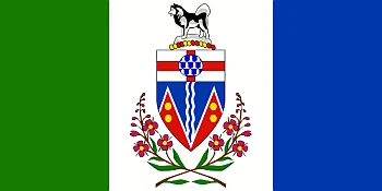
Yukon
Formation: 1898.
The Yukon Territory is a territory of Canada, and it is the second-largest one in the country. The capital is Whitehorse. It has an area of 1,567,874 square kilometers. The population is just over 38,000 people. When British Columbia was merged with Canada, it became the only Canadian territory left in North America that wasn’t on the coast or next to a province. The Yukon Territory has an area of 1,567,874 square km and just over 38 000 people. In addition to being the second-largest territory in Canada, it is also the only Canadian territory not on the coast or next to another province.
Yukon Territory is a region in Canada most famous for its natural beauty. One of the most popular tourist attractions is Lake Laberge. The lake covers around 36 square miles, and it’s known for its gorgeous turquoise water. Many enjoy renting boats or jet skis to explore the lake and its surrounding area. Yukon also has many other wildlife preserves and parks where bears, moose, and mountain goats can be seen.
You may also want to visit Dawson City to glimpse the Klondike Gold Rush. In Dawson, you can visit one of the many museums devoted to exploring the history of this area and see artifacts from that period. If you venture out into the wilderness, pack enough food, water, clothing, and gear for your stay!
Read more and find maps here about Yukon.
You may also be interested in the